


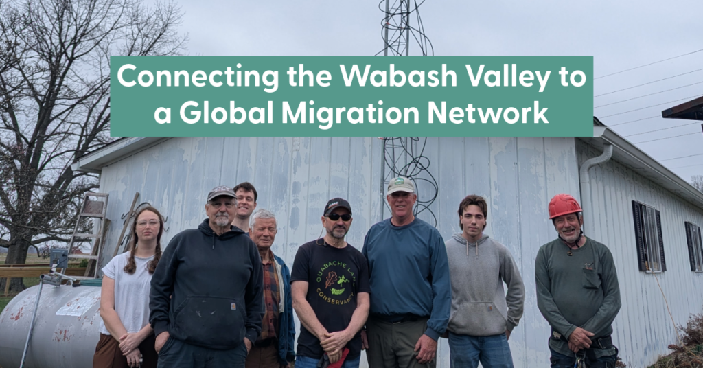
High above the Wabash River, something remarkable is happening, though you’d never hear it with your own ears. Invisible signals are passing through the sky, carried by birds no larger than a sparrow and bats navigating the night. Each one is part of a journey that spans hundreds, sometimes thousands, of miles. And now, those journeys are being recorded right here in west-central Indiana.
After nearly a year of planning, partnership-building, and hands-on work, Ouabache Land Conservancy (OLC) has successfully installed and activated a Motus Wildlife Tracking System tower at Atherton Island Natural Area. What began with an exploratory site visit in April 2025 has culminated in a fully operational station contributing to an international network that tracks the movement of wildlife.
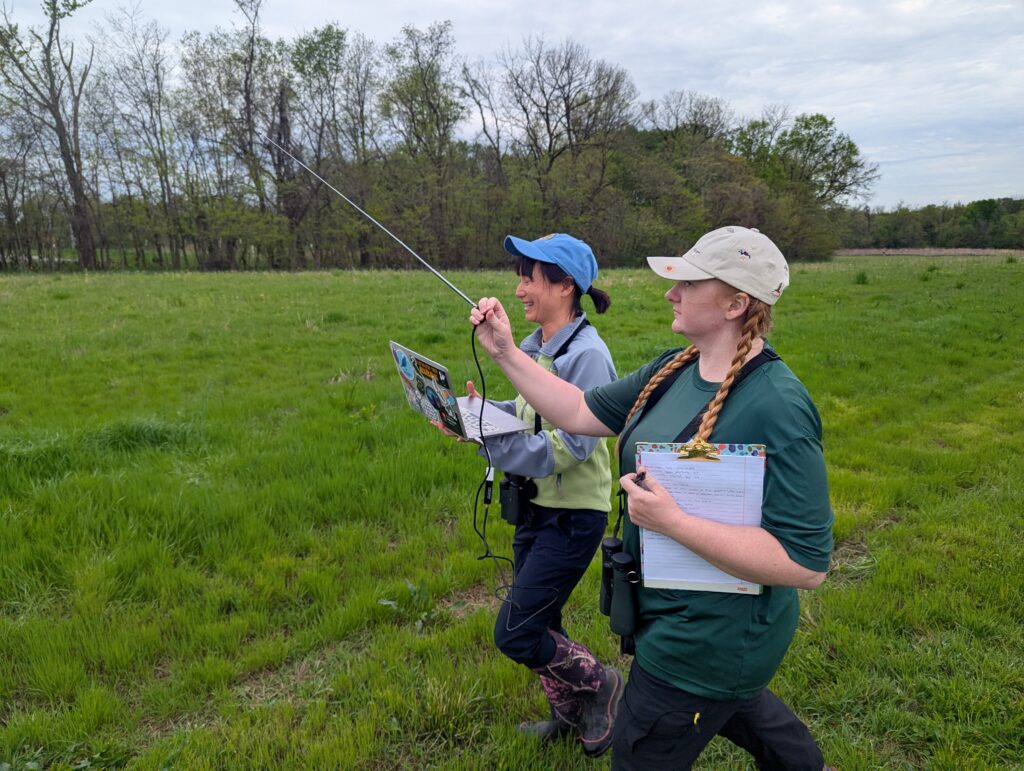
For OLC, this project represents an important evolution in its conservation work. While land trusts are known for protecting land, long-term impact means understanding how wildlife uses protected landscapes. The Motus tower reinforces active monitoring and scientific contribution.
Motus—Latin for “movement”—is a collaborative research network that relies on automated radio telemetry stations to detect signals from tiny transmitters placed on wildlife. By filling a critical geographic gap along a major migratory pathway, the Wabash River corridor, OLC’s tower strengthens a growing system of stations that allow scientists to map migration routes, identify key habitats, and inform conservation decisions across the region.
This project was made possible through partnership with the Sam Shine Foundation, whose funding and technical support helped bring the vision to life.
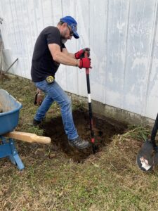
Volunteers, board members, and several partners also contributed every step of the way— from early planning conversations to constructing the tower’s foundation, wiring, and antenna system. The year-long process reflects the collaborative, community-driven nature of land conservation. Volunteers braved challenging conditions, hand-mixed thousands of pounds of concrete, installed grounding systems, participated in technical workshops to assemble key components, and more.
Now operational, the tower “listens” to the skies, detecting tagged wildlife passing through the region. The data it collects will help answer questions about migration and habitat use, strengthening the scientific foundation for future conservation.
The Motus tower is more than infrastructure for OLC. It is a signal of growth, demonstrating how a small land trust can contribute not only to protecting land, but to advancing the knowledge needed to steward it for generations to come.
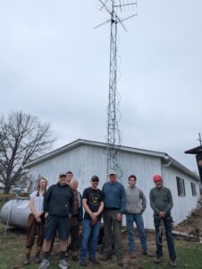
You can view the species and individuals that the Atherton Island Natural Area Motus station has detected by visiting https://motus.org/dashboard/#d=stations&f=%7B%7D and typing “Atherton Island Natural Area” in the Search bar.
 Ouabache Land Conservancy protects and restores land in west-central Indiana by providing habitat for native species, maintaining natural scenic beauty, and improving water and air quality, while offering education and enhancing the quality of life in our communities for future generations.